








Engineered for Professional Mapping
We develop optical solutions for aerial surveying, photogrammetry and remote sensing applications.
Optical Design · Quality Control · Integration Support


Designed for detailed aerial imaging and precise mapping.

Optimized for UAV payload requirements and flight efficiency.

Designed for demanding aerial imaging environments.

Lens options for different imaging systems and UAV platforms.

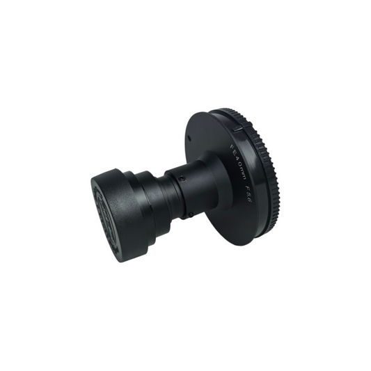
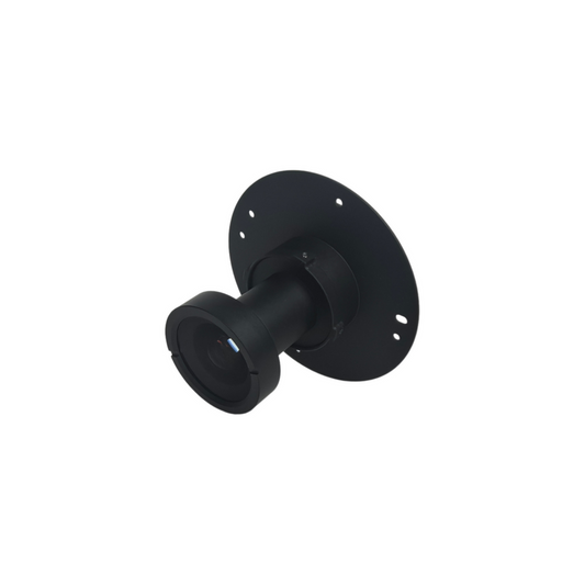
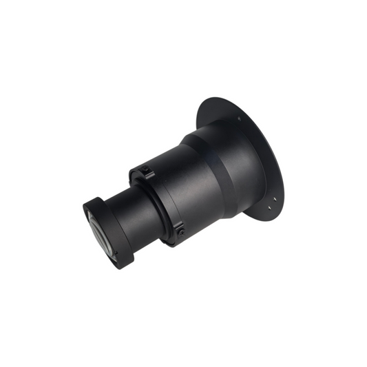
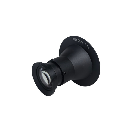
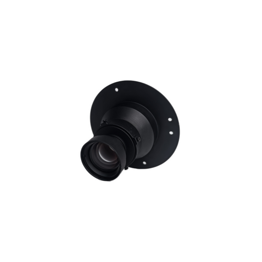
Our mapping camera lenses are designed for aerial survey, photogrammetry, remote sensing and environmental monitoring.


We develop optical solutions for aerial surveying, photogrammetry and remote sensing applications.
Optical Design · Quality Control · Integration Support

Focal Length: 25mm
Aperture: F5.6 ± 5%
Mount: E-mount
Weight: 27.5 g
